
 Borradas del mapa nacional. La invisibilización de las islas mexicanas frente a la supremacía continental en la cartografía
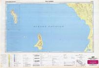
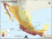
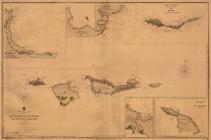
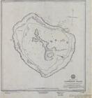
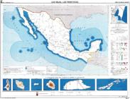
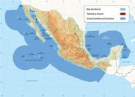
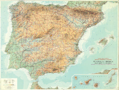
This article presents various cases in which islands have been omitted or underrepresented on maps of Mexico, resulting in their invisibility in the population's territorial imaginaries, which is an effect of the "continental supremacy" that leads to a lack of insular integration. Through Archipelagic Thinking, on selected maps, examples are shown where islands acquired a secondary or marginal role, where non-existent islands are depicted, and where the government was forced to erase islands from the national cartography for geopolitical reasons. The case studies addressed are the oceanic islands in the Pacific (Guadalupe and Revillagigedo Archipelago) as “maritime border nodes”; the islands of the state of Yucatán; and two islands lost by Mexico (the Channel Islands and Clipperton). For each group analyzed, descriptions and cartographic examples are provided that point out omissions, errors, or ways in which their marginalization has diminished their territorial presence. It is proposed that the toponyms of islands that are larger, strategic, or with significant populations be incorporated more frequently into maps of Mexico, not only in maps of political divisions, but also in thematic cartography where the indication of the islands and archipelagos is pertinent for issues of physical, human and economic geography. This change would contribute to their visibility so that the Mexican population can understand their importance.
Keywords:
Cartography; islands; law of the sea; Mexico; political geography
 Thumbnail
 Thumbnail
 Thumbnail
 Thumbnail
 Thumbnail
 Thumbnail
 Thumbnail
 Thumbnail
 Thumbnail
 Thumbnail
 Thumbnail
 Fuente:
 Fuente:
 Fuente:
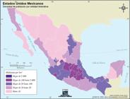
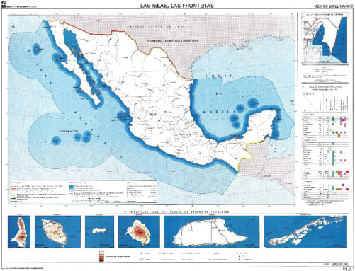
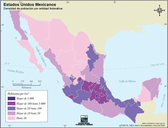 Fuente: Instituto Nacional de Estadística, Geografía e Informática
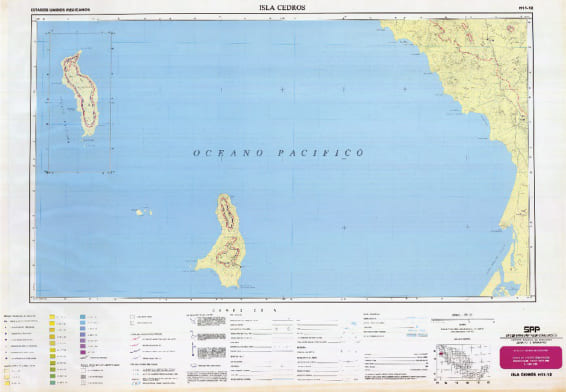 Fuente:
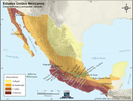 Fuente:
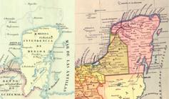
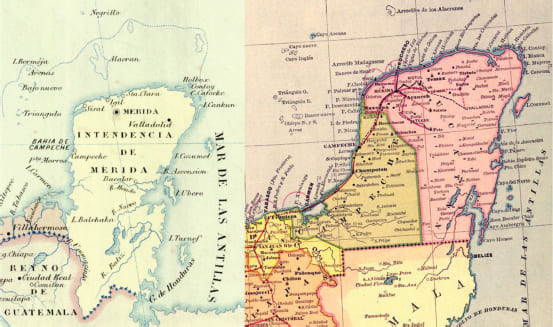 Fuente: Antonio García Cubas (1885 y 1886). Mapoteca "Manuel Orozco y Berra" coordinada a través de la Dirección General del Servicio de Información Agroalimentaria y Pesquera de la Secretaría de Agricultura y Desarrollo Rural. CHIS.EXP.M12.V7.0135 (izquierda) y Library of Congress (derecha).
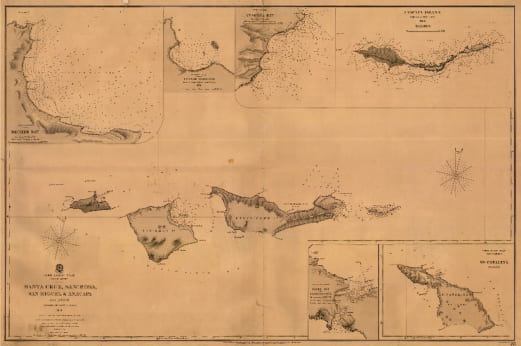 Fuente:
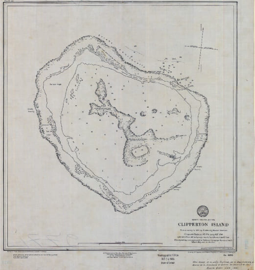 Fuente:
 Fuente:
 Fuente: