
 El imaginario geográfico y la insularidad de la isla Bermeja: representaciones cartográficas y verbales entre los siglos XVI y XXI
This article examines five cartographic and five verbal representations of Bermeja Island between the 16th and 21st centuries. The corpus selection criteria are based on diachronic analysis within the framework of historical geography. Given the abundant evidence of its presence in cartographic records, the concepts of geographic imaginary and insularity are explored. Harley’s iconographic methodology is appropriate for applying these two theoretical concepts to the period under study because it highlights the cartographer’s connection to power structures and, consequently, underscores that cartographic discourse is constructed and mediated by social relations and the underlying power dynamics of the society in which it is articulated. The analysis identified three stages in the development of the imaginary and insularity that significantly describe how the island has been represented over time: in the 16th and 17th centuries, its insularity was defined because cartographers relied on the auctoritas and the cartographic record was not questioned; in the 18th and 19th centuries, doubts about the island gradually began to arise once no tangible evidence was found, but its existence was not denied; finally, at the end of the 20th century and the beginning of the current century, it was proven that the island was not located in the geographical coordinates of the maps, which shows that cartography has been effective in perpetuating the island throughout history.
Keywords:
Bermeja; island; geographic imaginary; insularity; 16th-21st centuries
 Thumbnail
 Thumbnail
 Thumbnail
 Thumbnail
 Thumbnail
 Thumbnail
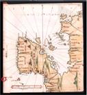
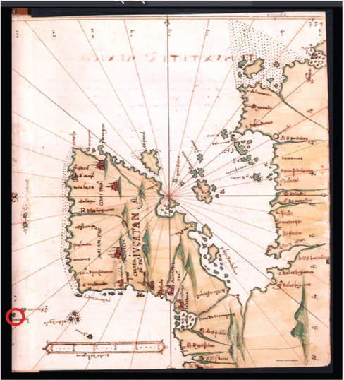 Fuente: Captura de pantalla del folio 675 del Islario general de todas las islas del mundo. Biblioteca Nacional de España, <
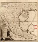
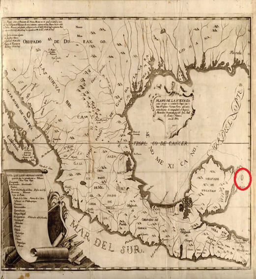 Fuente: Captura de pantalla del Plano, Biblioteca Virtual Miguel de Cervantes. <
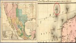
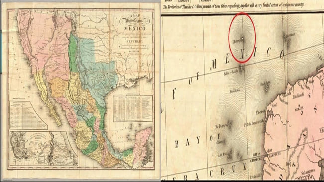 Fuente: Captura de pantalla de “A Map of the United States of Mexico” (a la izquierda) de Tanner y elaboración propia del acercamiento de la isla (a la derecha). David Rumsey Map Collection. <
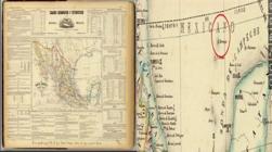
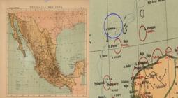
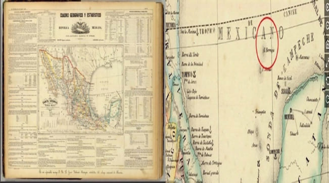 Fuente: Captura de pantalla de “Carta general” (a la izquierda) de García Cubas y elaboración propia del acercamiento de la isla (a la derecha). David Rumsey Map Collection. <
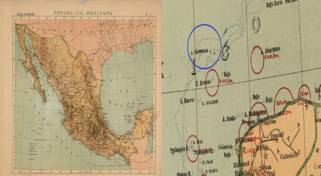 Fuente: Captura de pantalla de “Atlas” (a la izquierda) dado a conocer por Pedro C. Sánchez y Pastor Rouaix y elaboración propia del acercamiento de la isla (a la derecha). David Rumsey Map Collection. <
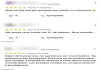
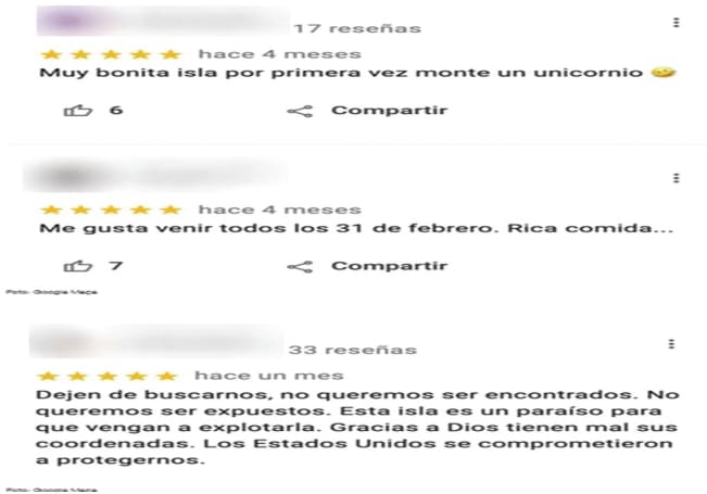 Fuente: Captura de pantalla de los comentarios de internautas en el artículo de