
 Erudición etimológica e imaginación geográfica: el problema de la insularidad americana en la Introducción a la cosmografía de Waldseemüller (1507)
This article examines the complex interplay between humanist geographical scholarship and the spatial imagination shaped by the voyages to the West Indies during the Age of Discovery. Drawing on primary cartographic and cosmographic sources, it analyzes how inherited geographical knowledge, understood as intellectual tradition, interacted with newly acquired empirical information in an epistemic framework whose documentary expression was the insular representation of the New World promoted by Martin Waldseemüller (1470–1520) and his humanist circle. Through a historiographical analysis informed by the history of cartography, cultural geography, and media studies, the article argues that the process through which the newly “discovered” lands of Christopher Columbus and Amerigo Vespucci acquired geographical status was shaped by a process of decontextualizing navigators’ empirical observations in order to privilege a more traditional conception of the terrestrial sphere. This conception sought to reconcile what was seen with what had been read within the context of a print-based humanist culture deeply committed to geographical and etymological authorities, as exemplified by the toponymic attribution of America to its alleged “inventor,” Amerigo Vespucci. From this perspective, the apparent contradiction between information derived from the voyages and the subsequent cartographic representations of the New World can only be understood by considering together editorial practices, the humanist cosmographic tradition, and the rhetorical procedures through which these universal forms of knowledge visually constructed geographical space. On this basis, the article contributes to the historiographical debate on the interpretation of Waldseemüller’s Cosmographiae Introductio and its celebrated 1507 world map by emphasizing their fundamentally insular conception of the New World—one rooted in classical and medieval geographical traditions—rather than the supposedly continental and “modern” interpretation advanced by some scholars and modern editions.
Keywords:
Insularity; geographical imagination; renaissance humanism; cosmography; Martin Waldseemüller
 Thumbnail
 Thumbnail
 Thumbnail
 Thumbnail
 Thumbnail
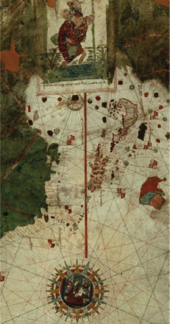 Fuente: Manuscrito iluminado sobre pergamino, 96 x 183 cm. Museo Naval de Madrid. Recuperado del Catálogo de la Cartoteca del Instituto Geográfico.
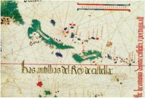
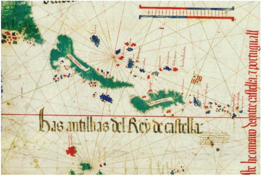 Fuente: Anónimo. Manuscrito iluminado, 120 x 218 cm. Biblioteca Estense de Modena, Italia. Recuperado del Catálogo de la Biblioteca y Cartoteca del Instituto Geográfico Nacional
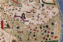
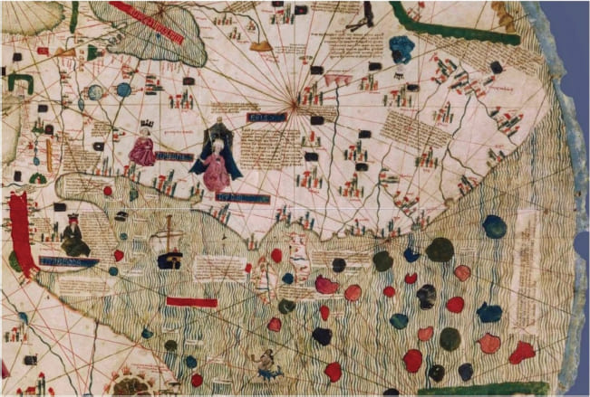 Fuente: Atribuído a Pere Rossell, destacando las islas del Mar de China. 30.5 x 56.8 cm. Biblioteca Estense Universitaria de Módena. Recuperado del Catálogo de la Cartoteca del Instituto Geográfico Nacional
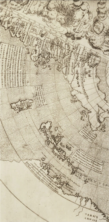 Fuente: Grabado en cobre sobre papel, 42 x 63 cm. The British Library / Map Library, Londres.
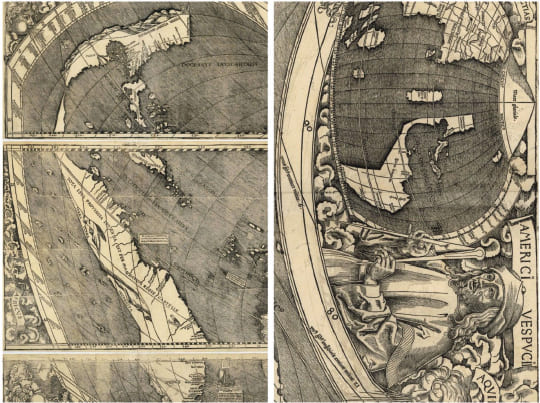 Fuente: Grabado en madera sobre papel, 132 x 236 cm. Library of Congress Geography and Map Division Washington, D.C. Recuperado de